TcpMDT Surveying
Coordinate transformations and calculations with Process The total station data.
About the product
It is installed on TcpMDT Standard and TcpMDT Professional.
- Processing Total Station Observations
- Calculating Point Coordinates
- Traverse and network compensation
- Global and Local Coordinate Transformations
- EPSG database with worldwide coverage
![](https://geosmartcivil.com/wp-content/uploads/2024/09/p_mdtt.jpeg)
Field Work Applications
Tcp GPS for android all in one solution for surveying and setting – out with GNSS receivers
About the product
- Compatible with GNSS receivers of all major brands.
- World coverage base maps and projections.
- Ability to use web map services or CAD and GIS files as user layers.
- Simple and accurate survey with capture of point, linear and polygonal objects.
- Linking of photographs, voice memos and user attributes.
- Point, line or polyline stakeout with voice guidance.
- Data export to the cloud in multiple formats.
- Optional module for working with surfaces, roads and BIM projects.
![](https://geosmartcivil.com/wp-content/uploads/2024/09/p_gps_android.jpeg)
TcpTUNNEL
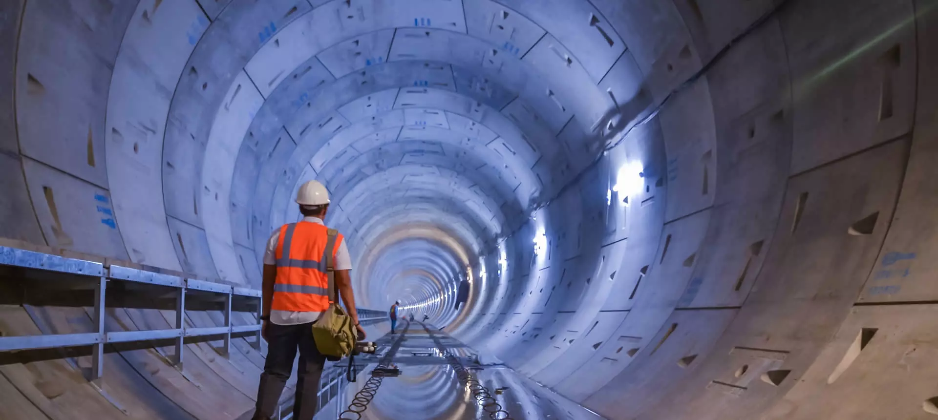
Performs simple and accurate execution control for tunnel projects for roads, railroads, subways and mines, with total station or 3D scanner.
About the product
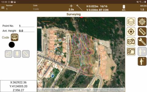
- Installs on motorized total station or compatible data collector
- Project defined through axis in plan and elevation and section of the tunnel
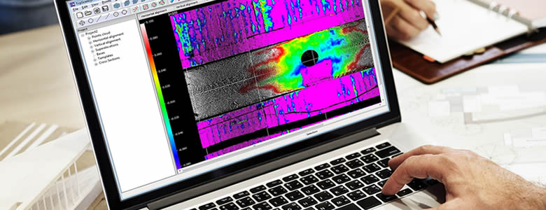
- Automatic profiling
- Comparison of sections with indication of under- and over-excavation areas
- Staking out profiles, excavation face, rolling, etc.
- Generating Drawings and Reports with TcpTunnel CAD
![](https://geosmartcivil.com/wp-content/uploads/2024/09/p_tcptunel.jpeg)
![tunnel](https://geosmartcivil.com/wp-content/uploads/2024/09/tunnel.jpeg)
![home-slider-tunel-1](https://geosmartcivil.com/wp-content/uploads/2024/09/home-slider-tunel-1.webp)
Point Clouds , Tcp PointCloud Editor
Point clouds from SLAM, LiDAR, mobile apps, and drones
About the product
- Manage, edit, and analyze point clouds from scanner, mobile, or drone data using LiDAR, SLAM, or photogrammetry technologies.
- Easily import data in standard formats and display by attributes such as color, intensity, etc.
- Measure, dimension, and draw easily with intuitive CAD tools such as AutoCAD®, BricsCAD®, GstarCAD® or ZWCAD®.
- Create profiles in plan and elevation.
- Generate 3D surfaces or meshes and calculate volumes.
- Optimize productivity with advanced features like automatic vectorization and a 360º image viewer.
- Share results in a web viewer or export to DWG, 3D PDF, IFC, etc.
- Use the web viewer to publish projects to the cloud and view them from any device.
![](https://geosmartcivil.com/wp-content/uploads/2024/09/p_tcppointcloudeditor-150x212.png)