eME10
GNSS INTELLIGENT EXCAVATOR GUIDANCE SYSTEM
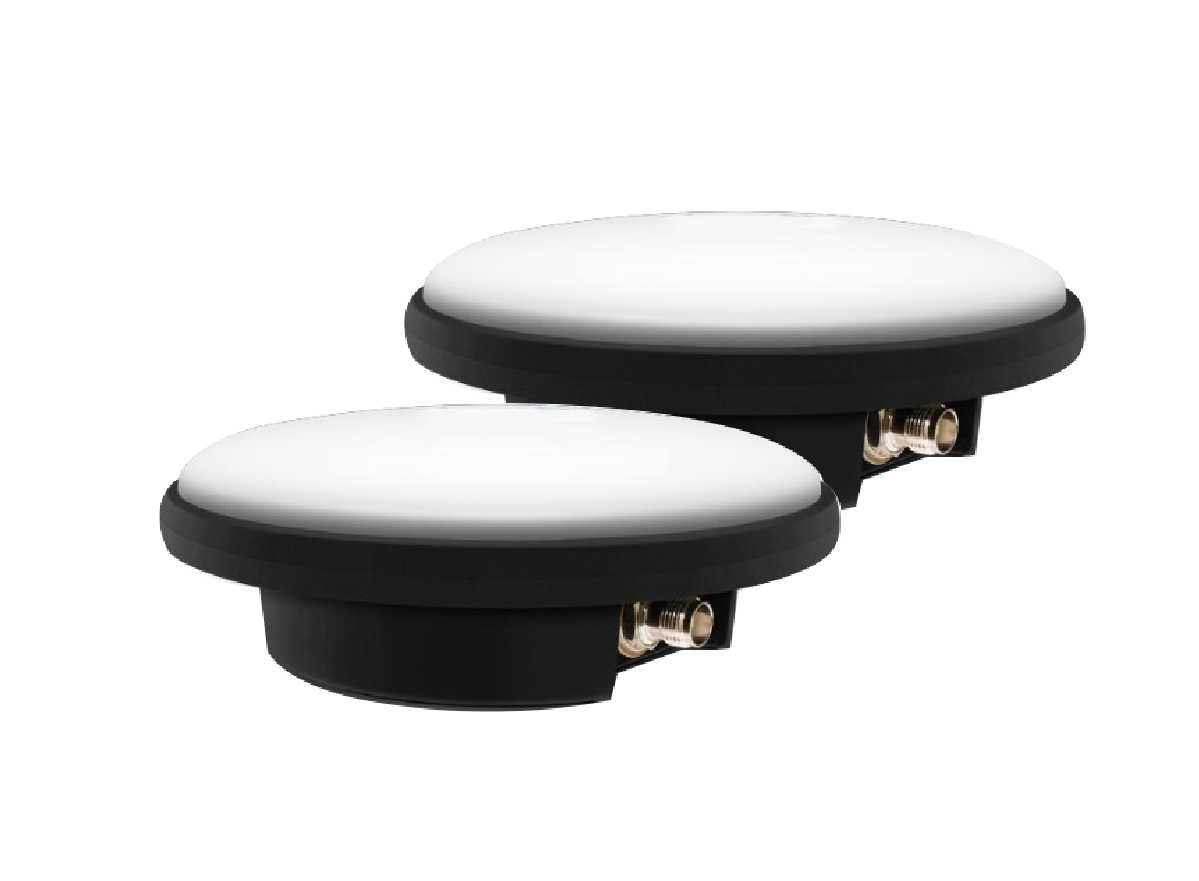
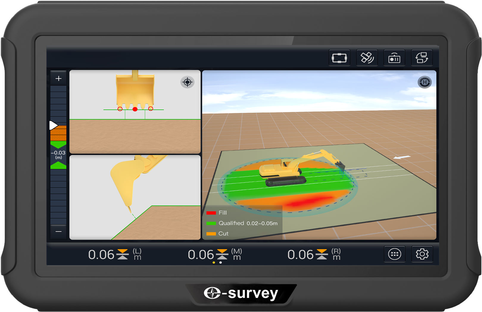
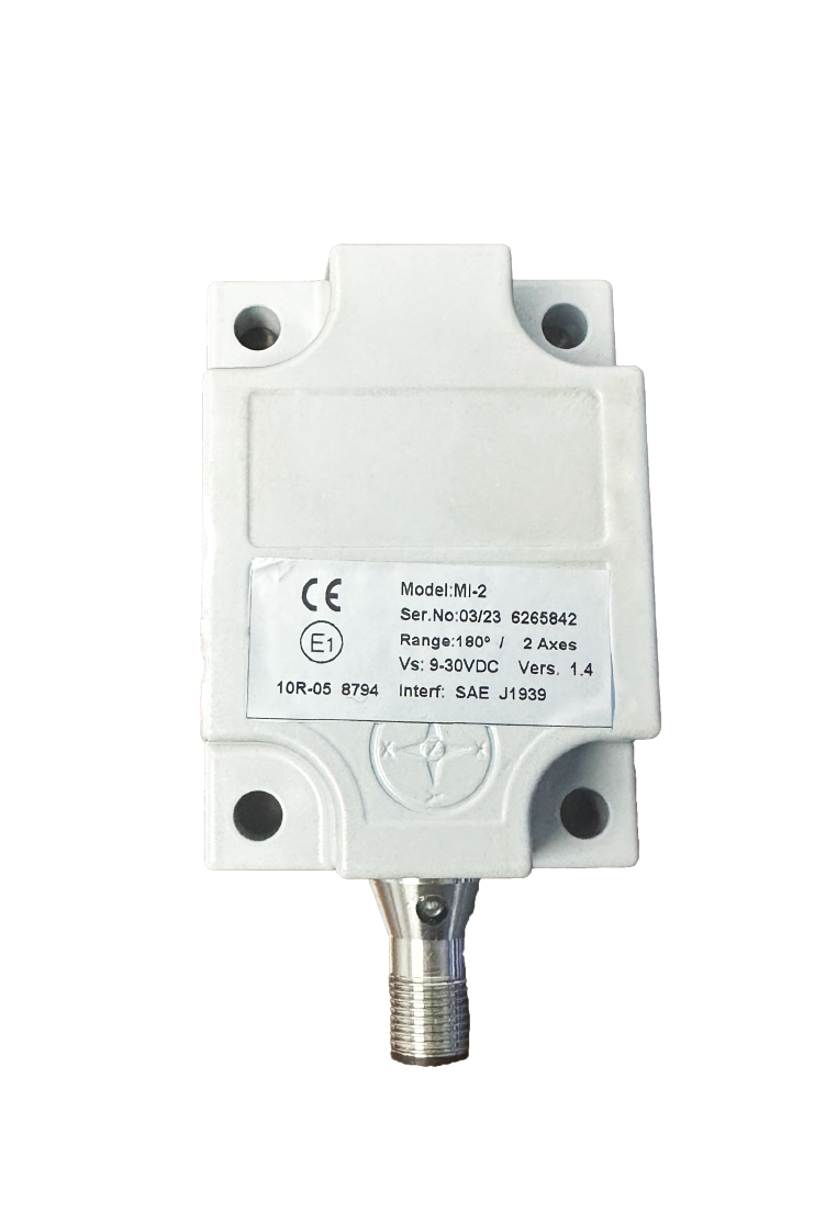
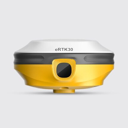
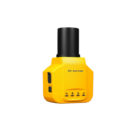
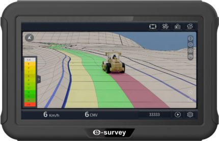
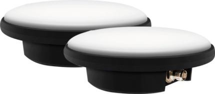
The eSurvey eME10 is designed with high accuracy in mind and consumes less time by guiding excavator operations. It uses GNSS real-time dynamic positioning technology to obtain the bucket’s real-time and accurate 3D position information by reading various tilt sensors installed on the excavator. The eME10 features intuitive, easy-to-learn software that runs on the Android operating system. The state-of-the-art hardware and software help operators of all skill levels work faster and more efficiently than ever, especially in complex areas. To sum up, you can get more in less time. The eME10 features intuitive, easy-to-learn software that runs on the Android operating system. The state-of-the-art hardware and software help operators of all skill levels work faster and more efficiently than ever, especially in complex areas. To sum up, you can get more in less time.
eME10
| Centimeter-level Accuracy
Satisfy all your excavation construction 10.1 Inch Screen The 10.1-inch screen with 1024 * 600 Getting More in Less Time Work faster and more efficiently by |
Rugged Hardware
Apply the eME10 even under harsh
Intuitive Software: Easy-to-use View the 3D model in real-time for
|

