GPR Subsurface
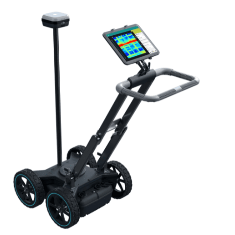
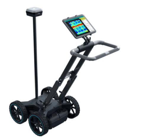
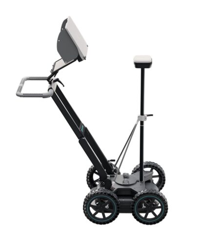
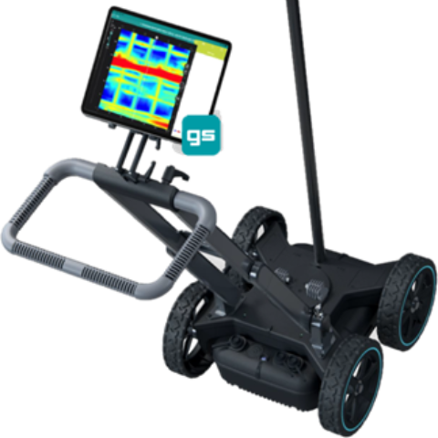
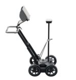
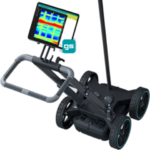
GS8000 The most efficient real-time workflow and technology to scan and digitize the subsurface , Scan the underground and obtain clear 3D visualizations of the subsurface, in real–time. All dimensions of subsurface mapping: Single channel, Multichannel GPR & Mobile Mapping.
GROUND PENETRATION RADAR for Sub-surfaces
GPR (Ground Penetrating Radar) systems enable operators to detect underground utilities, particularly non-conductive pipes, and ducts, using high-frequency Radar. When locating underground utilities, GPR can be a valuable complement to electromagnetic cable and pipe locators.
GS8000 The most efficient real-time workflow and technology to scan and digitize the subsurface
- Get a clear image of the underground in 2D and 3D as you walk.
- Digitize on-site findings on the map and send them to CAD/GIS.
- Access to your data from anywhere, anytime.
Sensor / Instrument Technical Specs
| Radar technology Stepped-frequency Continuous-Wave GPR |
| Modulated frequency range 40 – 3440 MHz ² |
| Effective bandwidth 3200 MHz ³ |
| Min. detectable target size 1 cm | 0.4 in ⁴ |
| Max. depth penetration 10 m | 33 ft ⁵ |
| Scan rate 500 Hz |
Proceq GPR Subsurface App
Top new capabilities introduced with the free upgrade:
- Full flexibility to scan an area without constraints of following a grid.
- See your 3D tomography plotted in real time and updating as you scan.
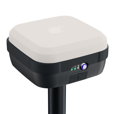
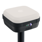
- See your real time position on top of satellite imagery.
- Tags and markers mapped and synchronized on top and section views.
- Select the local coordinate system of the map from EPSG database.
- Store geolocated points of interest in the map and categorize them.
- Digitize utility linework directly on the Time Slice View.
- Export findings to common CAD & GIS formats in one-click.
- Markup on the image and share the sketches as part of field report.
- Connect to terrestrial positioning systems for indoor mapping and much more.
Continuous software service, maintenance and bugfixes. Compatibility upgrades to fully support the latest generation iPads and the latest version of iOS to enhance your productivity.
>>>> more details, contact us

