RTK10
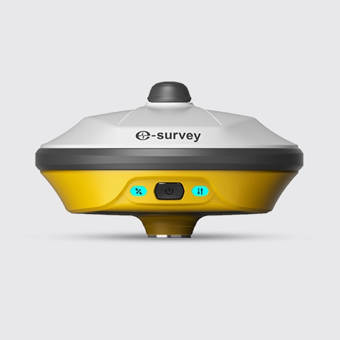
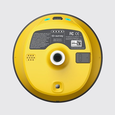
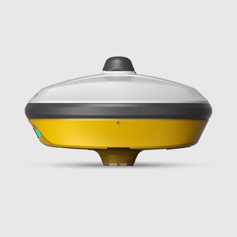
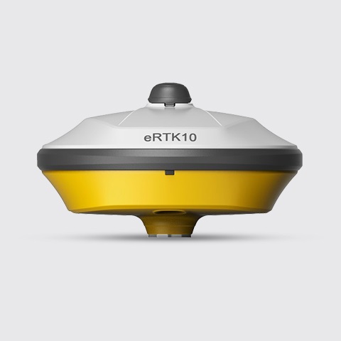
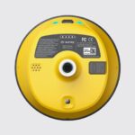
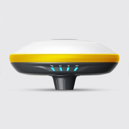
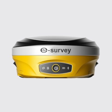
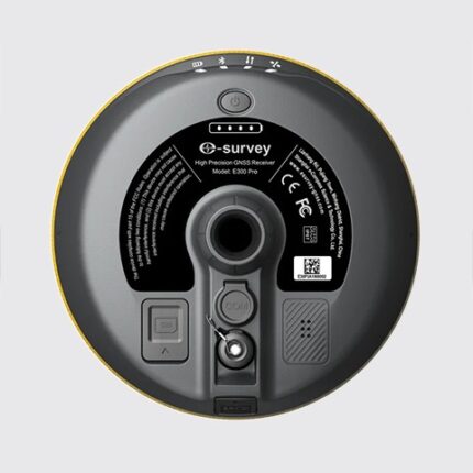
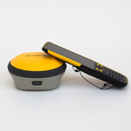
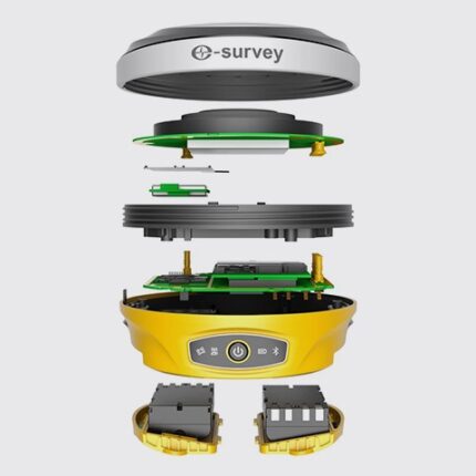
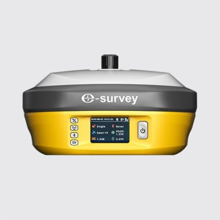
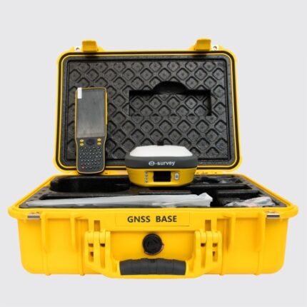
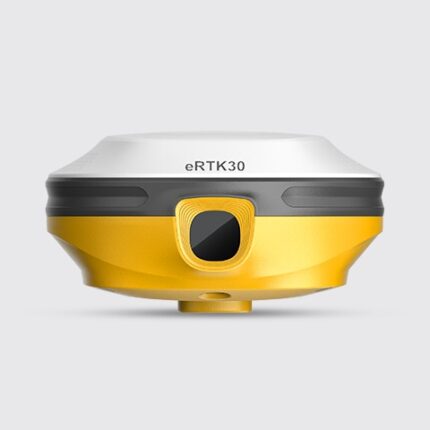
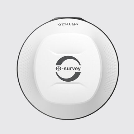
eSurvey eRTK10 is a brand new GNSS receiver integrated with the visual technology of eSurvey GNSS. It supports immersive 3D application in real working environment. With AR visual positioning technology, eRTK10 helps you to make the application faster and improves your working efficiency. Compact design makes it easy to carry in various complex environments.
Integrated with built-in radio (Rx only) and 60° tilt IMU function, eRTK10 is a perfect choice for all rover station scenarios.
AR APPLICATION CAMERA GNSS RECEIVER
AR Visual Positioning: More Efficient Application
There is no need to move the pole back and forth during the stakeout and no need to rely on guesswork. Follow the visual guide to find the exact target marking point. It is suitable even for an inexperienced user and provides up to 50% more efficiency.
Multi-Satellite Systems and Multi-Frequency
Provides stable and reliable accuracy with 1408 channel GNSS tracking. All GNSS signals including GPS, BDS, GLONASS, Galileo, QZSS, NavIC, SBAS and L-Band come standard.
MEMS Dynamic Tilt Measurement up to 60 Degrees
Measure points quickly and accurately, at rest or on the move, without the need to level the pole.
Focus on where the pole tip should go; this is especially helpful during application.
Easily start measurements in hard-to-reach environments such as building corners and slopes.
You no longer have to worry about the pole moving or tilting during measurement, as long as the pole tip is stable.
Robust Design
It is manufactured to be physically durable. It has the capacity to be used in harsh conditions and you do not have to worry about using it in harsh field conditions.
Lightweight and Compact Design
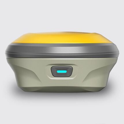
The compact design of eRTK10 makes it a small-sized and lightweight GNSS receiver, easily carried by users without fatigue.
Web Interface
You can view location status, set working mode, download data and update firmware from the Web UI with any phone, tablet or PC.

